Where We Work
Conservation areas
Colorado Open Lands works statewide and has completed conservation projects in 50 of Colorado’s 64 counties! We currently focus our work in six priority landscapes, where our careful analysis has shown the greatest conservation potential and the biggest threats to land and water. That said, we also consider projects from anywhere in the state where signification conservation opportunity exists!
Click a landscape name to jump to content.
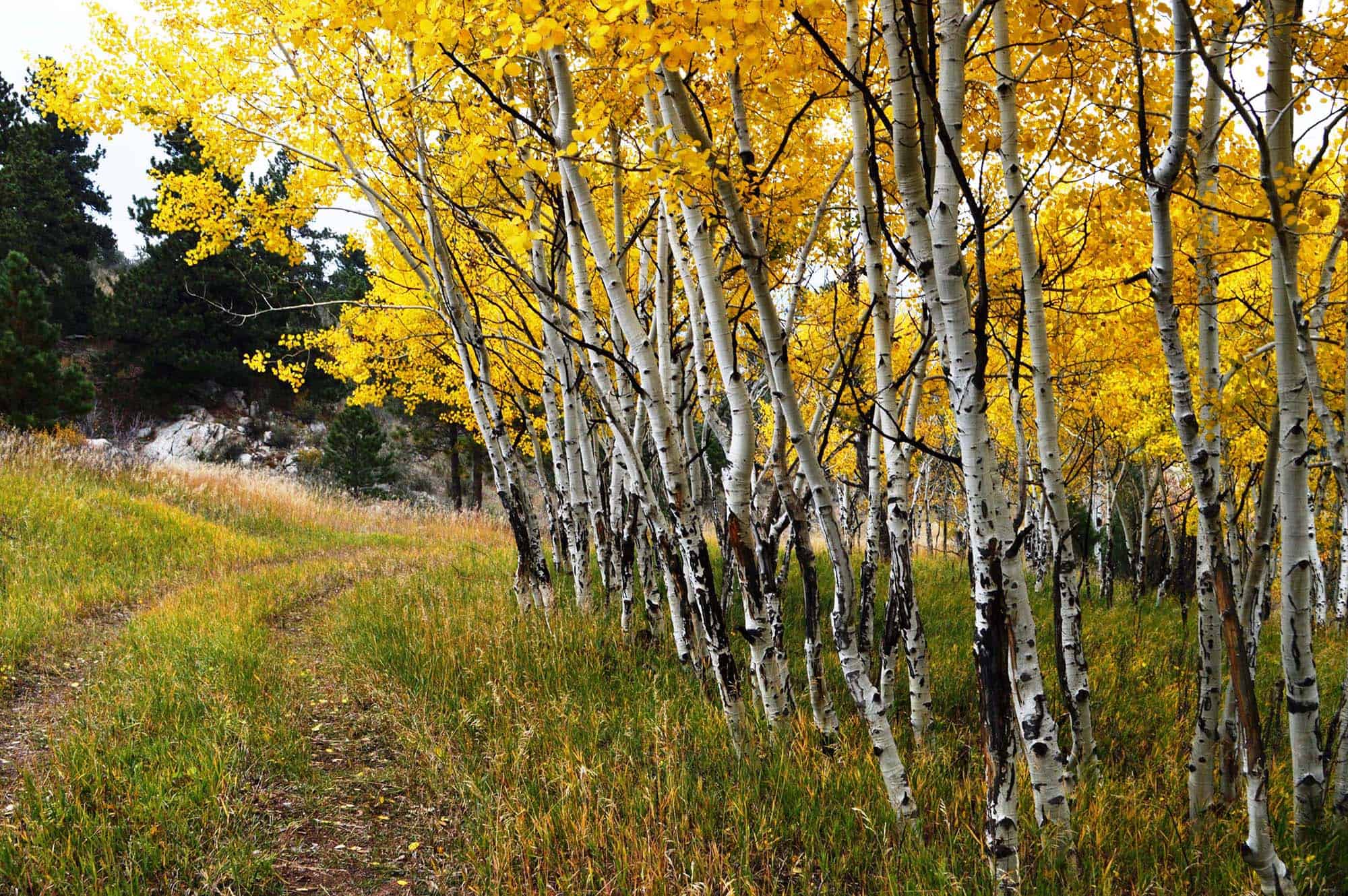
Clear Creek Canyon
Outstanding recreation near urban centers
The Clear Creek watershed between Loveland Pass and Golden is one of the most beloved spots for recreation near the Front Range. It’s proximity to metro Denver and stunning natural beauty also made it a prime candidate for development. In 2020, Colorado Open Lands merged with the Clear Creek Land Conservancy (CCLC), which had been protecting land in that corridor for nearly 35 years. Every year, tens of thousands of people enjoy CCLC’s accomplishments when they hike the Beaver Brook Trail near Genesee and Golden, several miles of which traverse land conserved by CCLC, now under permanent protection with COL.
See more about the history of conservation in Clear Creek Canyon here.
Back to top
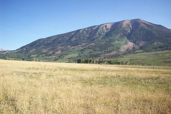
Gunnison Basin
Peaks and protected species
Colorado’s Gunnison Basin includes the North Fork of the Gunnison River, the Gunnison River, and the Uncompahgre River. These rivers and their tributaries have shaped a landscape that is home to unique and diverse land forms and communities: “adobe” badlands, river canyons, flat irrigated farm lands, and high mountain peaks. Elevations range from 4,750 feet in the Gunnison River Valley to well over 11,000 feet in the West Elk Mountains. This landscape is known for world class skiing, breathtaking scenery, outrageous wilderness recreation, first class hunting and fishing and the country’s most viable population of the threatened Gunnison sage-grouse. This region is the heart of Colorado’s orchard lands and sweet corn production. It is also home to a third and fourth generation cattle ranching community deeply committed to maintaining the social and economic agricultural fabric that is the soul of the Gunnison and North Fork River valleys. Colorado Open Lands is a proud partner with the Gunnison Ranchland Conservation Legacy in Gunnison’s amazing conservation accomplishments.
Representative Projects:
Mill Creek Ranch
Rocky Mountain Biological Laboratory
S&R Allen Ranch
Snodgrass Mountain
Back to top

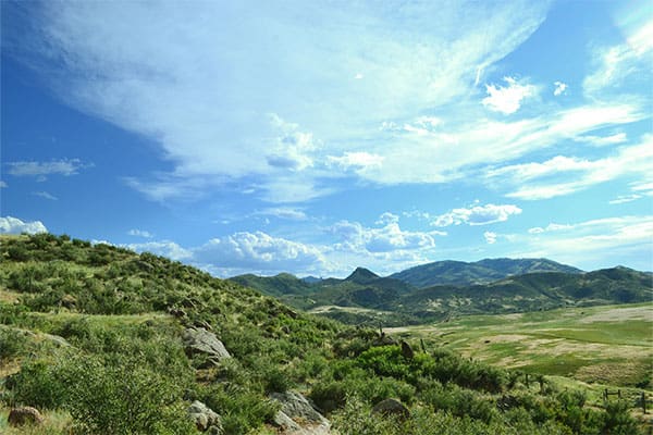
Northern Front Range
Productive lands and thriving wildlife
Colorado’s Northern Front Range and Lower South Platte River comprise some of the most productive agricultural land in the state. From the foothills of the Rocky Mountains across the Great Plains to the Nebraska border, this landscape also encompasses some of the state’s most significant wildlife habitat. Water from the South Platte River system sustains a $4.5 billion a year agricultural industry, and supports critical habitat for hundreds of thousands of waterfowl each year.
Human and wildlife communities are tightly intertwined here. As the state’s population continues to grow, much of that growth is expected to occur in northern Colorado including Boulder, Larimer, Weld, Adams and Morgan counties. If innovative solutions are not found to meet water needs, farmers and ranchers who grow our nation’s food and fiber will sell their water and leave agriculture. Colorado Open Lands is working on creative approaches to meeting Colorado’s growing water demand while keeping farmers on farms – a future that supports the rural agricultural communities, families, and wildlife that depend on the South Platte River system.
Representative Projects:
Dakota Ridge
Dixon Station Farm
Olander Farm
Waggener Farm
Back to top
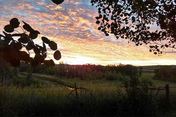
Northwest Colorado
Migrating wildlife and development pressure
Northwest Colorado represents an extremely important migration corridor for the Bears Ears Elk Herd, the second-largest elk herd in the world. In its annual migration, this herd travels between higher-elevation forests in the Elkhead Mountains, northwest down into the Snake River Valley for winter, and back up again in the spring. Many privately owned ranches and farmland are feeling the pressure of new housing and population growth outside the Town of Craig.
Representative Project:
Bakers Peak Ranch
Back to top

San Luis Valley
Doing water rights right
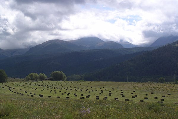
The Southern San Luis Valley is located in south central Colorado. The history of the Native Americans, along with early Spanish and later Mexican settlers has endowed this landscape with a rich cultural heritage and a strong agricultural identity. The Sangre de Cristo National Heritage Area recognizes this area as the confluence of American Indian, Latino and Anglo cultures. The acequia irrigation system is the lifeblood of these agricultural communities and supports a rich riparian and wetland system. This area was recognized as a national priority for conservation by the U.S. Fish and Wildlife Service.
Colorado Open Lands has taken a unique approach to protecting the historic land and water rights in this community by employing both traditional and nontraditional conservation tools. Colorado Open Lands has protected over a hundred thousand acres in this landscape, but also has a partnership with the Sangre de Cristo Acequia Association to organize the Colorado Congreso de Acequias and facilitates a water rights legal assistance program with the University of Colorado Law School.
Representative Projects:
Culebra Creek Ranch
Rio Grande Healthy Living Park
Sangre de Cristo Greenbelt
Back to top
South Park
Historic character and critical wetlands
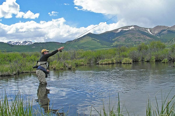
The South Park Basin is a 1,000-square mile grassland basin in the geographic center of the state that harbors many biological treasures – globally rare wetlands, high concentrations of wildlife, recreational opportunities for over three million visitors a year, and three tributaries of the upper South Platte River. Designated a National Heritage Area in 2008, South Park represents one of the most unique and highly valued collections of natural, cultural, and recreational resources in the country, all set in a striking scenic, rural, and open landscape.
South Park includes tens of thousands of acres of protected private land, dozens of designated historic sites, and a promising economic development plan which is based upon showcasing the area’s natural, historic and recreational amenities. Colorado Open Lands’ work in this landscape has been defined by partnerships and a willingness to explore new approaches to conservation, including stream and habitat restoration and the preservation of historic resources.
Representative Projects:
Buckskin Gulch
Sacramento Creek Ranch
Santa Maria Ranch
Back to top

Wet Mountain Valley
Historic ranches and natural beauty
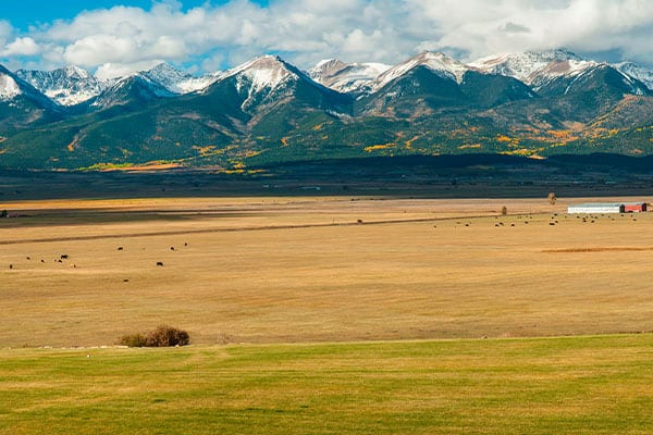
Our work in the Wet Mountain Valley intensified around our 2021 merger with San Isabel Land Protection Trust. San Isabel was founded in 1995 by a group of Custer County residents concerned about increasing development pressures and the potential loss of agricultural lands, scenic vistas and wildlife habitat. At the time of merger, San Isabel had permanently protected 42,434 acres in Custer, Fremont, Huerfano and Pueblo counties through partnerships with more than 120 landowners and families. Colorado Open Lands has identified over 100 potential conservation projects in the area to bring continued conservation success to the region.
Representative Project:
Bluff Park
Back to top
